Published April 8, 2019 08:13PM
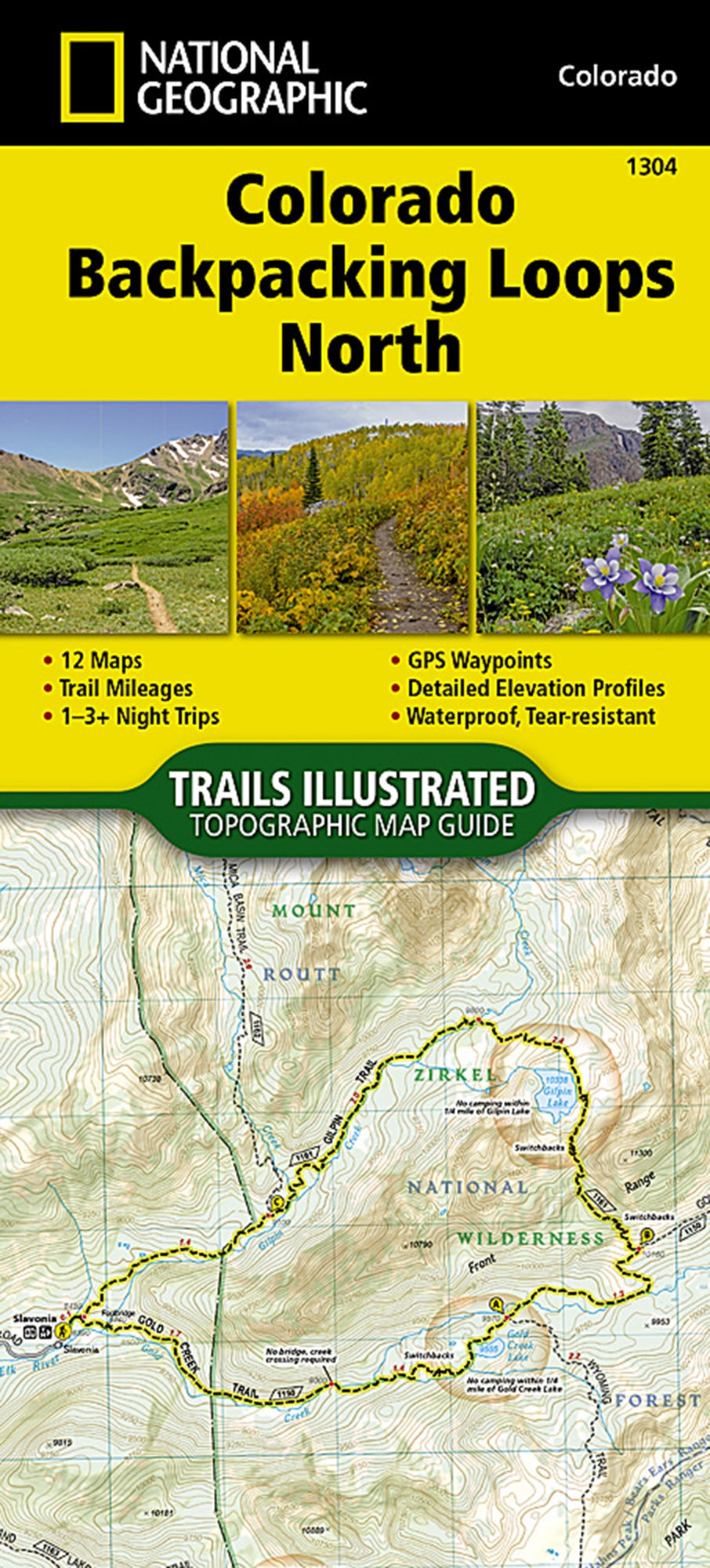
Gear of the Week: National Geographic Maps Colorado Backpacking Loops
Make trip planning easy with these readymade itineraries.
'Courtesy'
Getting stoked for hiking season is easy, but actually deciding on—and mapping out—a trip can be a paralyzing task. Luckily for us, these offerings from Nat Geo compile 24 of Colorado’s most scenic loop hikes in convenient booklets, so you can just flip and go. (There’s one booklet for the northern part of the state and another, sold separately, for the southern region. Each contains 12 hikes.) The loops range from eight to 26 miles and cover a range of difficulties, so there’s a trip for everyone, and they include some BACKPACKER favorites. “While we were on the Devil’s Thumb Loop in the Indian Peaks Wilderness, we used the booklet as bedtime reading material to get excited about our next adventure,” one tester says. He found the waterproof pamphlets and their 1:40,680-scale maps easy to unfold and read, but reports that having the loops’ descriptions in the back means a lot of flipping back and forth.
$15; 3 oz.; natgeomaps.com