Heading out the door? Read this article on the new Outside+ app available now on iOS devices for members! Download the app.
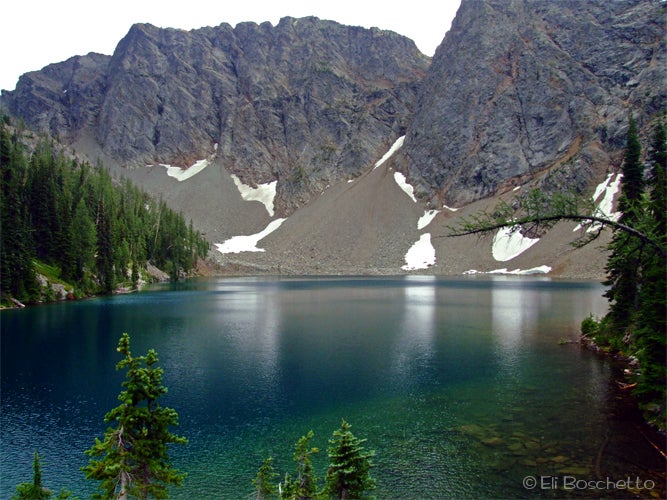
North Cascades National Park, near the border of Washington and Canada offers hikers an abundance of trails to explore what many refer to as the “American Alps.” Not many of these trails however are easily accessible from the only road – Highway 20 – that runs through the park. One trail, on the park maps, but actually outside the park boundary, treats hikers to a gem of an alpine lake nestled in a basin of sheer stone walls.
Start the 2.4 mile trail to Blue Lake at the signed trailhead parking area just west of Washington Pass. The trail first parallels the highway as it crosses several boardwalk areas over spruce-forested wetland, then passes a roomy campsite near a large beaver pond, before beginning an easy climb away from the highway toward the lake. 1.5 miles up, the scene opens as the trail momentarily skirts a wide path of avalanche debris. Look for a variety of wildflowers in this meadowy area – paintbrush, lupine, fireweed, aster, penstemon – as well as views across the valley and up toward the sharp ridge of the Early Winters Spires.
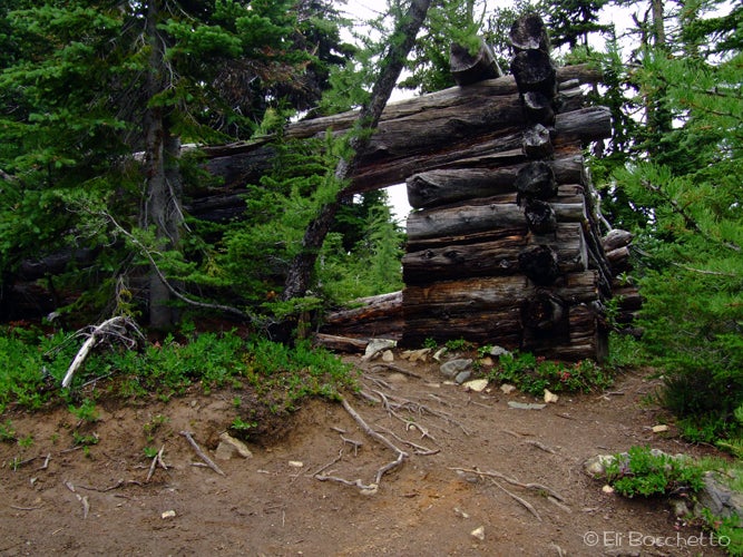
The trail then dives again under the cover of forest, turning to alpine larch and whitebark pine, passing by a faint climber’s trail to Liberty Bell Peak. A few more long, gentle switchbacks brings you to the outlet creek of Blue Lake. Rock-hop across, then take the trail to the left to reach the north shore of Blue Lake, noticing the remains of an old miner’s cabin near the trail. Find an ideal spot to settle for lunch on a large rock outcrop, and enjoy the serene beauty of the vivid blue-green lake surrounded by tall jagged peaks above. Explore at will, then retrace your path back to the trailhead. Camping at the lake is not permitted.
Mapped by Eli Boschetto
Trail Facts
- Distance: 3.9
Waypoints
BLU001
Location: 48.5191, -120.674146
Blue Lake trailhead.
BLU002
Location: 48.52004, -120.671709
Look for a large campsite, with a large beaver pond nearby.
BLU003
Location: 48.514813, -120.671296
Skirt the edge of an avalanche track, filled with wildflowers amid forest debris.
BLU004
Location: 48.512563, -120.665703
Trail spur to the Liberty Bell climber’s route.
BLU005
Location: 48.508961, -120.672429
Fork left at this junction. Area ahead closed for restoration.
BLU006
Location: 48.508468, -120.672278
Cross the outlet creek below Blue Lake. Find the remains of an old log cabin above the trail.
BLU007
Location: 48.508243, -120.672077
Blue Lake. Drop gear and enjoy lunch on the rocks, with views of the lake basin and Early Winter Spires.
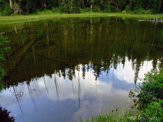
Beaver Pond
Location: 48.519618, -120.672498
This large pond sits in the trees behind a large campsite, not far from the trailhead. © Eli Boschetto
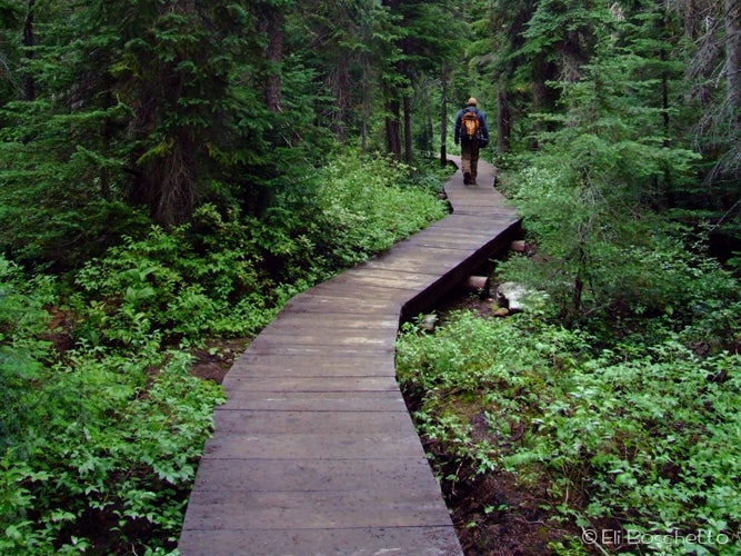
Forest Boardwalk
Location: 48.520868, -120.670609
Boardwalks have been installed along the trail over a few wetland areas. © Eli Boschetto
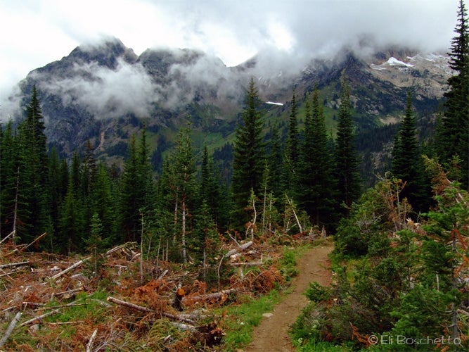
Avalanche Track
Location: 48.514728, -120.670524
Clouds obscure the valley from the Blue Lake Trail. © Eli Boschetto
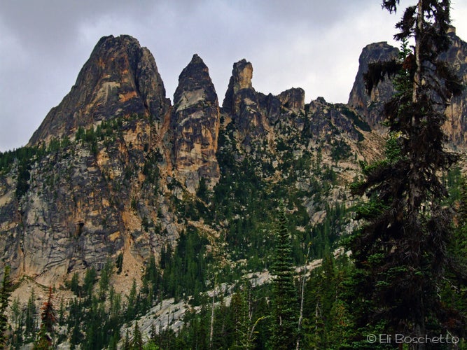
Liberty Bell
Location: 48.511061, -120.667434
The Liberty Bell (L) and Early Winter Spires are clearly seen from the Blue Lake Trail. © Eli Boschetto
Mountain Ruins
Location: 48.508701, -120.672541
An old miner’s cabin can be found above the trail near the outlet of Blue Lake. © Eli Boschetto
Blue Lake
Location: 48.507791, -120.671983
A large rock outcrop near the foot of the lake offers a fantastic place for a lunch or snack with spectacular views.