Heading out the door? Read this article on the new Outside+ app available now on iOS devices for members! Download the app.
Mapped by Bryan Conant (www.bryanconant.com)
Trail Facts
- Distance: 17.6
Waypoints
SRT001
Location: 34.7267075, -119.9185104
Hike E on fire road, and quickly climb into charred chaparral hills
SRT002
Location: 34.73209, -119.9097443
Swing N; route switchbacks then loops back up the steep slopes
SRT003
Location: 34.7296982, -119.904686
Clumps of taller evergreens cling from the N-facing slopes
SRT004
Location: 34.723362, -119.8985977
Side trip: Go R toward Cachuma Mtn. Bare hillside offers views to Pacific and lonely dots of Channel Islands National Park
SRT005
Location: 34.7262001, -119.9007111
Scramble up rocks to Cachuma (4,696 ft.); find the USGS summit marker. Backtrack to WPT 4, then continue S
SRT006
Location: 34.7195282, -119.8972168
Pass a corrugated metal water trough
SRT007
Location: 34.7133942, -119.887619
Continue SE
SRT008
Location: 34.7067986, -119.8720856
Hells Half Acre: This stark white rock formation stands out amid area?s browns and greens. Ahead is trip?s hardest climb
SRT009
Location: 34.7134476, -119.8503418
Go right at intersection marked with a large metal sign
SRT010
Location: 34.7062874, -119.8457947
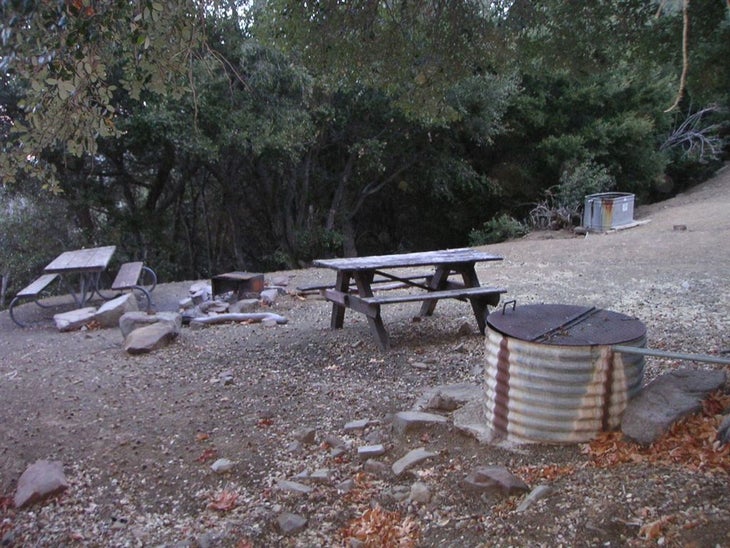
Camp in well-established site near McKinley Springs. Reliable water. Next day, leave camp gear and head SE
SRT011
Location: 34.7035027, -119.8361588
McKinley Saddle. Pick one or both: 1) Go R (not mapped) to climb McKinley Peak (1.4 mi. roundtrip). 2) Continue E to the prize mountain in San Rafael Wilderness
SRT012
Location: 34.7109413, -119.8140945
Best views are on singletrack before 6,593-ft. summit. Tag peak, and backtrack to camp. When ready, return to trailhead
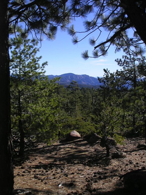
View west through the pines
Location: 34.7167282, -119.8932724
©Bryan Conant (www.BryanConant.com)
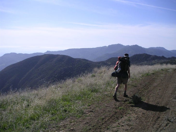
Hiking McKinley Road
Location: 34.7115135, -119.8846359
A hiker tromps the the crest of the San Rafaels. ©Bryan Conant (www.BryanConant.com)
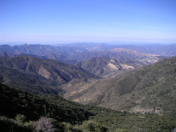
Looking Down Manzana
Location: 34.7079239, -119.8777847
The rugged interior of Manzana Canyon from the open ridgelines of the San Rafaels. ©Bryan Conant (www.BryanConant.com)
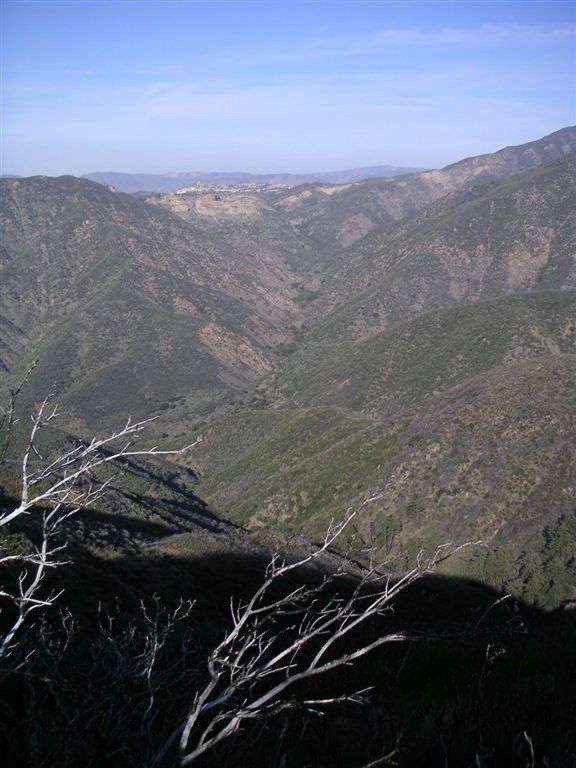
Looking Towards Manzana Narrows
Location: 34.7074356, -119.8741989
©Bryan Conant (www.BryanConant.com)
McKinley Spring Camp
Location: 34.7066193, -119.8458328
Make camp here before the push to San Rafael Peak. ©Bryan Conant (www.BryanConant.com)