Heading out the door? Read this article on the new Outside+ app available now on iOS devices for members! Download the app.
-Mapped by Andrew Matranga


Trail Facts
- Distance: 6.9
Waypoints
ASL001
Location: 39.716259, -105.209503
Warm up during the steady ascent through Apex Gulch, one of the original wagon trails leading up to Central City.
ASL002
Location: 39.713791, -105.214867
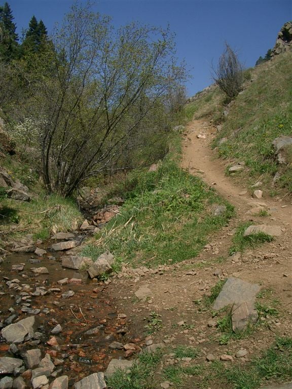
Path climbs and enters gully along cascading creek
ASL003
Location: 39.712095, -105.219329
Turn L and continue on steadily rising grade of Apex Gulch, lined with a babbling creek providing sweet solace from the gridlock left behind.
ASL004
Location: 39.713718, -105.2304
Turn R and get ready to crank up the compact switchbacks of the Sluicebox Trail
ASL005
Location: 39.71743, -105.229698
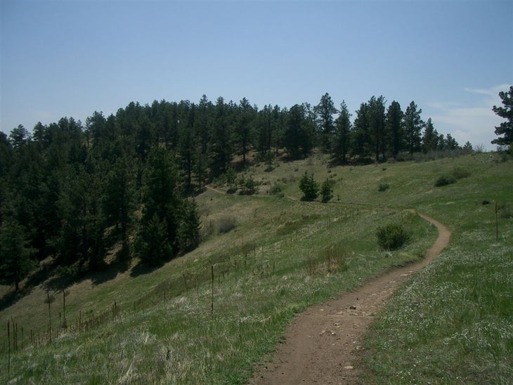
Major climb is done, hop on Pick N’ Sledge Trail and wrap around Lookout Mountain for neck-craning vistas of the Mile High City
ASL006
Location: 39.713902, -105.222298
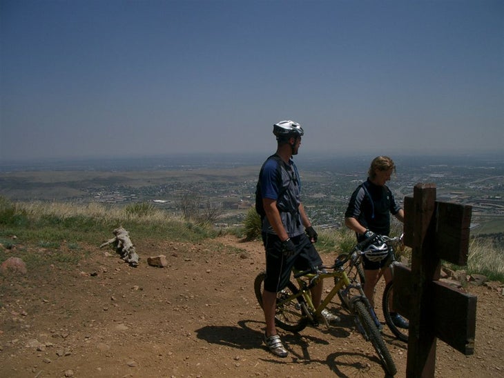
Sharp R @ junction with Grubstake Loop Trail to begin exposed, steep switchbacks back down to the Apex Trail; enjoy the panoramic descent above the curlicue spread of Colorado’s capitol city; return to WPT 3 and retrace route to car
Trail through Apex Gulch
Location: 39.71143, -105.220345
Singletrack twists along the creeklet lining Apex Gulch. ©Andrew Matranga
Ridgeline Meadow
Location: 39.715828, -105.22744
©Andrew Matranga
View over Denver
Location: 39.713982, -105.222168
Mountain bikers pause for views over Colorado’s capitol city before the steep, tight switchbacked descent back to Apex Gulch. ©Andrew Matranga