Navigation Center
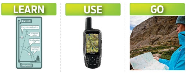
Learn how to make custom maps, navigate any terrain, and the ins-and-outs of GPS devices and mobile apps in our comprehensive navigation center.
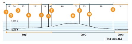
Create epic adventures on colorful, richly detailed topos that you can cache on the tablet. Build your own custom maps and print them with myTopo to use on trail.

Every great trip starts with a map. Pick from pre-planned adventures or build your own, then print them on waterproof paper. Pair with GPS Trails for in-field navigation.

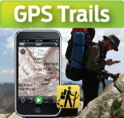
Turn your smartphone into the ultimate trail-ready device. Navigate off the grid, map hikes, geotag photos and share adventures, plus access premium BACKPACKER content.
- NAVIGATION-RELATED ARTICLES
- Reading Topo Maps: Understanding Contour Lines
- USING GPS
- Maps: How to Orient a Map to the Surrounding Terrain
- NAVIGATION 101: UNDERSTANDING YOUR COMPASS
- HOW TO NAVIGATE ANY CONDITION, TERRAIN
- iHike: Hiking in the Digital Age
- My Island, My Map: Creating a Custom Map of Bainbridge Island
- START MAPPING: TOOLS TO HELP YOU MAP YOUR WORLD
- How to Protect Your Map From the Elements
- Field School: Essential Tips
- PLOT AN OFF-TRAIL ROUTE
- SURVIVAL: OFF-COURSE WITH NO MAP OR COMPASS
- THE FUTURE OF MAPS
- THE MANUAL: PLAN AN EXPEDITION
SEE ALL NAVIGATION VIDEOS
- 2011 Editors’ Choice: DeLorme Earthmate PN-60w with SPOT Satellite Communicator
- 2010 Fall/Winter Gear Guide: Navigation Devices
- 2009 Editors’ Choice: Garmin Oregon 400t GPS
